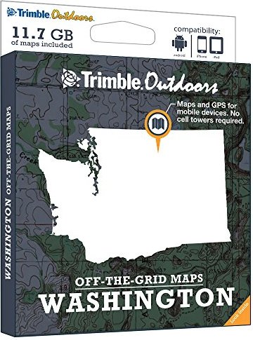
Trimble Outdoors Washington Off-The-Grid Maps (GPS Topo Maps with Hunt Units, Public and Private Land Ownership Borders for Smartphones and Tablets)
Price 90.10 USD
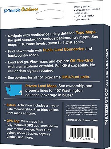
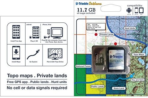
Turn your iPhone, iPad, or Android into a fully featured GPS with Washington Off-The-Grid Maps. Get instant access to thousands of full-color topo maps for the entire state. These offline digital maps work off-the-grid, even when you"re far from cell phone and data networks. Includes GPS mobile apps designed for hiking, backpacking, hunting, and other outdoor activities. • Map Types Included: Topographic, Forest Roads, Lake Maps, Public Land Boundaries, Private Land Maps • Every memory card comes pre-loaded with an entire state"s worth of full-color USGS topo maps, enhanced by MyTopo. • Topo maps feature 18 zoom levels (1:250K to 1:24K) so you can see your GPS location in great detail. See 20-foot contours in most places. • Private Land Maps: See ownership and property lines for these Washington counties: Adams, Benton, Chelan, Clallam, Clark, Columbia, Cowlitz, Douglas, Ferry, Franklin, Garfield, Grant, Grays Harbor, Island, Jefferson, King, Kitsap, Kittitas, Klickitat, Lewis, Lincoln, Mason, Okanogan, Pacific, Pend Oreille, Pierce, San Juan, Skagit, Skamania, Snohomish, Spokane, Stevens, Thurston, Wahkiakum, Walla Walla, Whatcom, and Yakima. • See borders for all 151 big-game GMU/hunt units. • Maps work off-the-grid. No cell towers required. • Works with iPhone, iPad, and Android devices. Android: Place microSD card into device. iPhone/iPad: Drag files from SD card into iTunes. Sync device. • Supported App: Trimble Outdoors (iPhone, Android, iPad). • Supported Website: TrimbleOutdoors.com.