Palau (Micronesia) 1:170 000 / 105 000 Visitor\"s Guide & Dive Map, waterproof FRANKO, 2011 edition
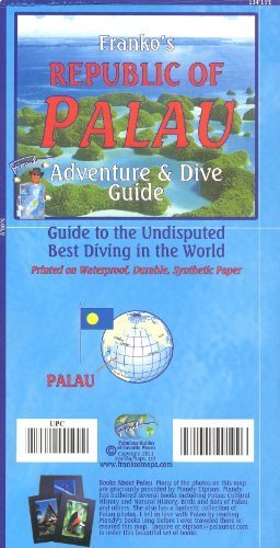
Palau (Micronesia) 1:170 000 / 105 000 Visitor"s Guide & Dive Map, waterproof FRANKO, 2013 edition This map is waterproof and tear-resistant, highly durable in tropical climate of South Pacific. It is double-sided to provide the best balance between an excellent scale and a convenient sheet size (size 67 x 47 cm / 26 x 18.5 in), with topographic and tourist information for everything there is to see and do in Palau.SIDE ONE features an overview map of the Republic of Palau consisting of 16 states at scale 1:170,000 and a gallery of dozens of colourful fish and other reef creatures. This side focuses on scuba diving, snorkeling and kayaking locations. The island has been nicknamed "The Underwater Serengeti of Planet Earth". Palau"s main tourist attraction is diving on its barrier reefs, drop-offs, reef passages, the central lagoon, coves, caves, and World War II Japanese ship and aircraft wrecks. SIDE TWO features enlarged maps of the island of Babeldaob at scale 1:105,000, the Koror State made up by 3 islands at scale 1:22,000, Peleliu at 1:54,000 and the island of Angaur at 1:42,500, and also has a map showing the locations of Sonsoral Island, Fanna Island, Pulo Anna Island, Merir Island, Tobi Island (Hatohobei State), and Helen Reef. Many of the resorts, tourist sites are described.