US Virgin Islands 1:62,500 Guide and Dive Map with city plans, waterproof FRANKO 2012 edition
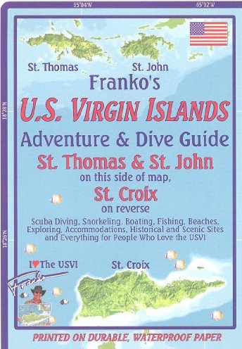
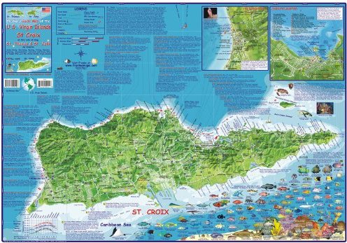
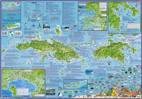
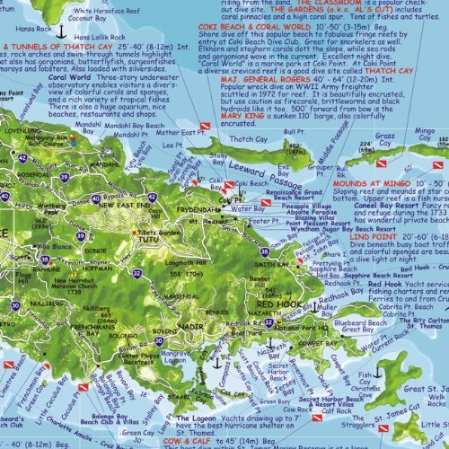
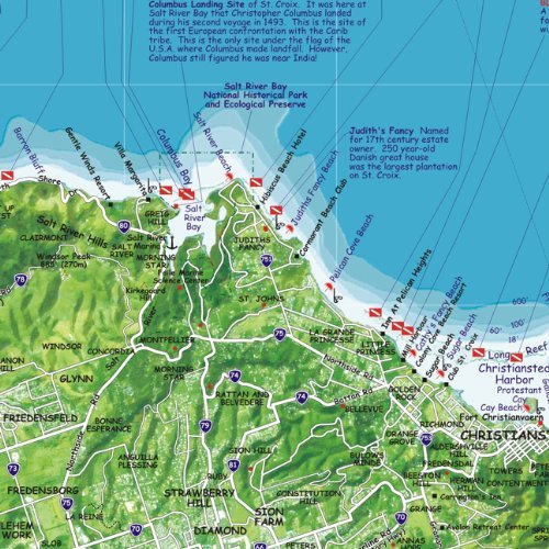
US Virgin Islands 1:62,500 Guide and Dive Map with city plans, waterproof FRANKO 2012 editionThis map is waterproof (can be taken underwater) and tear-resistant, highly durable in the tropical climate of the Caribbean. It is double-sided to provide the best balance between an excellent scale and a convenient sheet size (size 67 x 47 cm / 26 x 18.5 in), with topographic and tourist information.One side presents the island of St. Croix at scale 1:62,500, including Buck Island, a US National Monument for its incredibly pristine character both in and out of the water. Over three dozens of dive sites are located and accurately described around the island. Two insets provide more detailed mapping for Frederiksted and Christiansted. These are the major cities of St. Croix and are the places where most visitors go. The entire bottom of this side is highlighted and beautified by a gallery of Caribbean Reef Creatures, with over 100 species depicted and named in both English and Spanish. Reverse side presents St. Thomas and St. John islands at scale 1:62,500, with an overview map of all Virgin Islands. Added are close-up maps of Coral Bay and Cruz Bay. There is also a detail showing the heart of St. Thomas, which is Charlotte Amalie, the busiest cruise ship dock in the Caribbean, and all of its crazy streets, including those that are stairsteps.This side of the map has the locations and descriptions of approximately four dozens of dive sites, many of which are famous, and many of which are much less visited, owing to location or remoteness. This side also includes a gallery of reef fish and other creatures, with their names only in English.