Collins Greater London Street Atlas: Comprehensive Edition
Price 13.86 - 27.95 USD
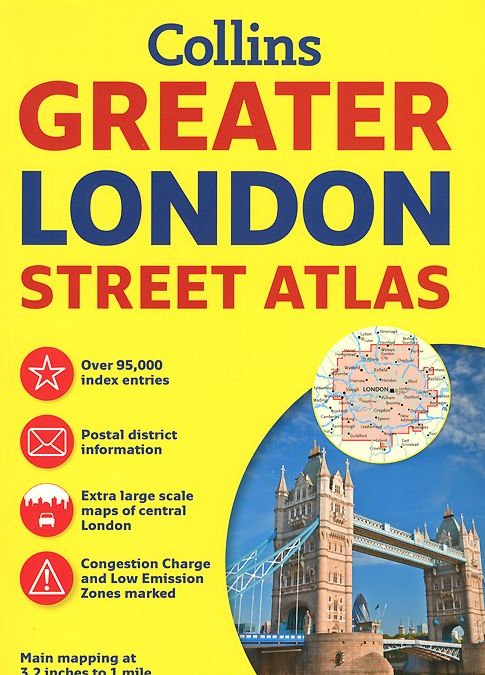

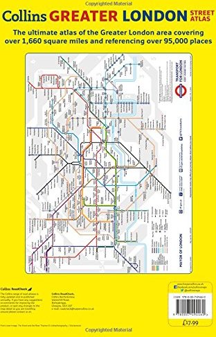


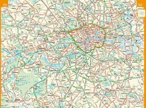
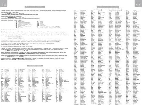

Incredibly detailed street level maps, with more than 40 categories of information, cover 1,660 square miles in and around London. Extra large scale central London maps at 6.3 inches to 1 mile make for ease of use in the more congested areas. Four main map scales ranging from route planning maps of south east England to large scale central area maps are ideal for navigation. An Underground map and London connections rail map show travel zones. Theaters, cinemas, and shopping maps are included, as well as a full index of street names, places of interest, hospitals, schools, colleges, and stations. The 3.2 inches to 1 mile scale extends from Welwyn Garden City in the north to Gatwick Airport in the south and from Windsor in the west to Gravesend in the east. The 6.3 inches to 1 mile scale extends from Highbury in the north to Clapham in the south and from Shepherd"s Bush in the west to Beckton in the east. This is the definitive reference atlas for London and the surrounding area.