2000 Plus Wales Map
Price 10.91 USD
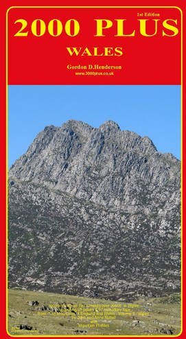
"2000 Plus Wales" is a comprehensive, full-colour map of all Welsh summits over 2000ft based on information from "The Mountains of England and Wales - Volume 1 Wales" by John and Anne Nuttall - an invaluable tool for outdoor enthusiasts to plan their next ascent and track their progress. This first edition (and companion to "2000 Plus England" also by the same author), depicts all 190 summits in Wales over 2000ft, comprising 93 main peaks and 97 subsidiary tops. Also included for the enthusiast are 91 minor summits over 2000ft but with insufficient re-ascent to merit similar status. Mountain profiles are interspersed between a comprehensive list of all summits, providing an instantly recognisable silhouette of the mountain ranges and their relative positions. The list also includes heights and a symbol to capture summits attained. Layer tints highlight the relief of the rugged mountain landscape of Wales and the geographical distribution of all summits. All this within a glossy protective card cover. Further information includes road and rail routes; hostels; coverage of relevant Ordnance Survey 1:50,000 Landranger maps; a simple co-ordinate reference system to relate the summits to the map and vice versa. This is the most comprehensive map of the Welsh mountains available. To promote safety in the hills, information about Mountain Rescue England and Wales (MREW) can be found on the inside cover.