Chesapeake Bay Md Southern
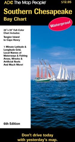
Waterproof navigational chart depicting the Chesapeake Bay from Tangier Island to Cape Henry. Includes Loran-C, X & Y LOP"s, 1 Minute Latitude and Longitude Grid , local names of waterways and fishing areas, wrecks and more.