Austria - Hungary Empire Railway Map 1907, facsimile
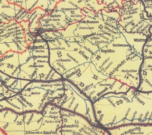

Austria - Hungary Empire Railway Map 1907, facsimileThis is a facsimile of the official railway map of the Austria - Hungary Empire created by then crown cartographer Gustav Freytag at scale 1:1,500,000. Back in 1907, train passengers would see it posted at every railway station in the Hungarian part of the Empire. It portrays the railway network of the whole Empire at scale 1:1,500,000. Train stations and distances between them are indicated. Added are more detailed inset maps showing Northern Bohemia at 1:750,000, Vienna Region at 1:500,000 and Greater Budapest. Another inset map shows the connecting railways of the southern Balkan at 1:3,000,000 (i.e. Romania, Bulgaria and European part of Turkey as they were in 1907). Added are interesting altitude diagrams for selected alpine rail lines. The legend is in Hungarian only, sheet size 107 x 81 cm / 42 x 32 inches, map is supplied folded. Excellent and unique material for train fans and also for history studies.