Caucasus
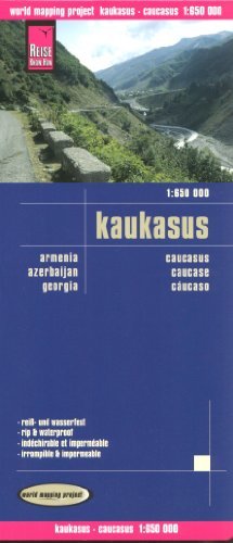
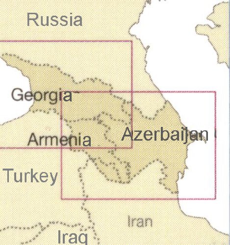

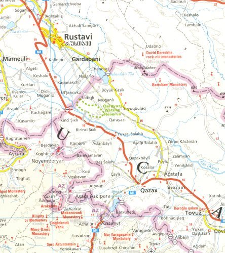
Caucasus 1:650,000 Travel Map, waterproof, GPS-compatible, 2013 edition, REISEThis map is waterproof and tear-resistant, double-sided to provide the best balance between a good scale and a convenient sheet size (size 100 x 70 cm / 39.5 x 27.5 in) with topographic and tourist information. The map covers the whole of the Caucasus Mountains, with very clear presentation of the international and internal administrative boundaries. In addition to the international borders, internal administrative boundaries are also marked, showing in Russia Chechnya, Ingushetia, North Ossetia and other republics, and in Georgia Abkhazia, South Ossetia and Ajaria. Also clearly marked are the two Azeri enclaves in northern Armenia, plus an Armenian enclave in Azerbaijan, as well as the 1994 ceasefire line around Nagorno-Karabakh where alternative Armenian place names are indicated. Within Georgia, Armenia and Russia names of main cities are also shown in each country"s alphabet. Border crossings are clearly marked.Road and rail networks are easy to see on a clear base which shows the area"s topography by altitude colouring with contours, spot heights, mountain passes and names of mountain ranges. Road network includes local unsurfaced roads and seasonal tracks. Highlighted are numerous national parks and protected areas both in Russia and on the southern side. A wide range of symbols highlights various places of interest, including UNESCO heritage sites, archaeological remains, selected hotels and campsites, beaches, caves and hot springs, etc. The map has a latitude and longitude grid at intervals of 1° and an index of place names with a separate list of national parks and reserves. Multilingual legend includes English, high quality German cartography.9788011105112 Caucasus Nagorno Karabakh Ossetia Abkhazia Chechnya Ingushetia