Moab North Outdoor Recreation Map: Utah
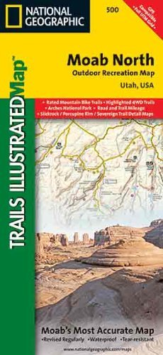
This Trails Illustrated topographic map is the most comprehensive and complete recreational map for the recreation areas north of Moab, Utah. The map shows all trails, campsites, and recreational features, plus ratings and mileage for mountain biking trails and junction-to-junction road and trail mileage.Coverage includes Moab, Green River, Fisher Towers and Arches National Park; highlighted Jeep Safari Trails and Mountain Bike Trails from Moab to Interstate 70; enhanced coverage of Dubinsky Wash to the Green River; and includes detailed 1:35,000 scale insets of Moab, Slickrock Bike Trail, Sand Flats Recreation Area, and Monitor and Merrimac Buttes/Bartlett Wash Area. The map also includes UTM grids for use with your GPS unit.Two-sided, self-cover, waterproof paper folding map. Scale: * Moab North = 70k * Monitor & Merrimac Buttes / Bartlett Wash / Sovereign Trail = 35k * Moab / Slickrock / Porcupine Rim = 35k * Green River & Tenmile Point = 70k Contour Interval: * Moab North = 100" * Monitor & Merrimac Buttes / Bartlett Wash / Sovereign Trail = 50" * Moab / Slickrock / Porcupine Rim = 50" * Green River & Tenmile Point = 100" UTM Projection = 12S Central Meridian = 111º W Datum = NAD 1927 Ellipsoid = Clarke 1866 Size: * Folded = 4.25"x9.25" * Unfolded = 25.5"x37.75"