Streetwise Southern New England Map - Laminated Area Road Map of Southern New England
Price 8.27 USD
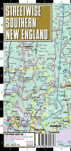
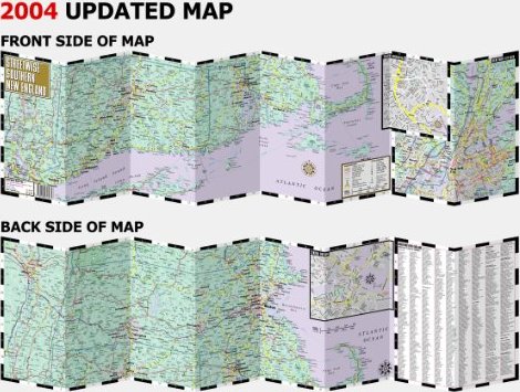
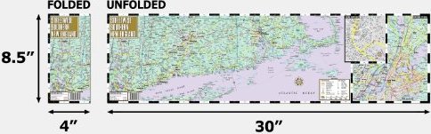
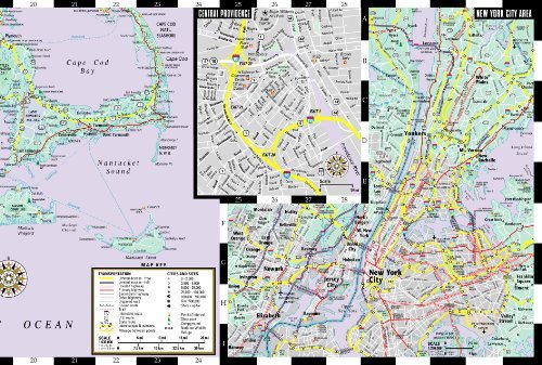
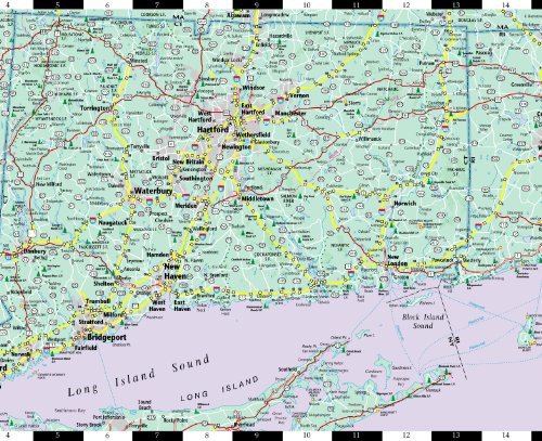
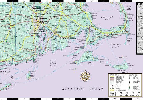
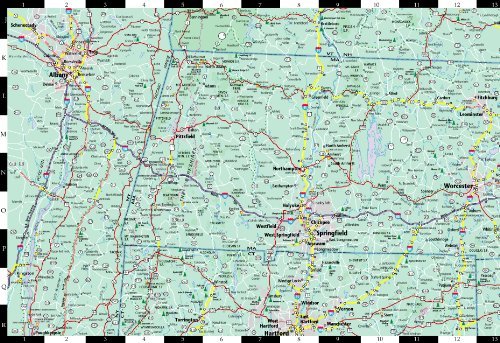
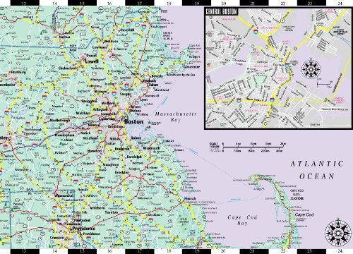
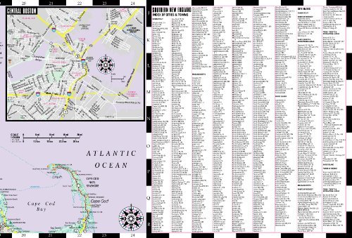
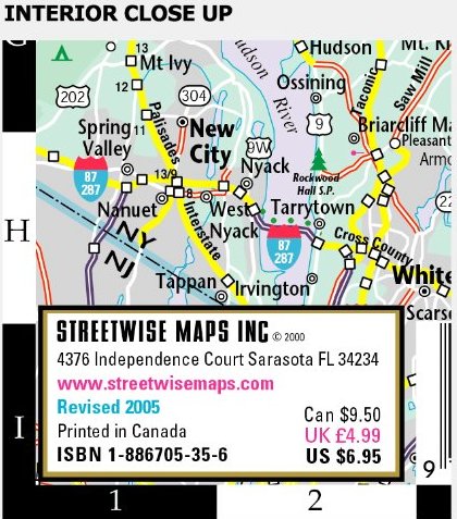
Streetwise Southern New England Map - Laminated Area Road Map of Southern New England - Folding pocket size travel mapThis map covers the following areas: Main Southern New England Map 1:630,000 Central Providence Map 1:21,000 Central Boston Map 1:46,000 New York City Area Map 1:46,000Southern New England is more than the area between New York and Boston. Although the route between the two cities is a fairly quick jaunt on Interstate 95, you do not just go from one city to another. Instead you cross into a region that is grounded in history and influenced by the attitude of the first settlers. They named it New England, not Old England or England just a bit further west. The Pilgrims came here wanting to do it their way, carrying with them both a sense of tradition and a desire to carve out their own existence. What eventually flourished, after a few bouts with disease and famine, was passion under the mantle of propriety; societal good combined with spirited individualism. That sensibility is still evident. Here you’ll find Yankee practicality along side upstart entrepreneurialism. From Manhattan heading north, cross the border and enter not only a region, but a state of mind.STREETWISE® Southern New England will guide you in your journey. Start in Connecticut along the rocky shores of Long Island Sound thru Bridgeport and past New Haven, home to Yale University and Louis’ Lunch, birthplace of the hamburger. Loop on up to the Southern Berkshires with a stop at the Mark Twain House in Hartford. Or you can continue on to New London and Mystic. From whaling ships in the 1700’s to the first nuclear powered sub ever built in the US, Mystic has been a shipbuilding center for centuries.Rhode Island may be small, but let’s not forget that this is the state where a cottage may turn out to be a 70 room mansion with over half a million cubic feet of marble.Massachusetts is anchored by Boston, the hub of urban activity in New England, in the east and the Berkshires, the hub of rural activity in the west. In between is the college district of Central Massachusetts home to Amherst, University of Mass Amherst, Holy Cross, Smith College, Fitchburg State, Clark University, Worcester Polytech, and Mt. Holyoke. History comes alive (literally!) with re-enactments at Lexington and Concord and along the Freedom Trail in Boston. You’ll get a true sense of what the Colonists were up against and how difficult it was to continue their pursuit of independence when you hear the stories from guides at the North Church, the Paul Revere House, the Old State House and the Bunker Hill Monument. In contrast head out to the north western corner of the state and visit Mass MOCA, the contemporary art museum housed in a converted mill factory and featuring thought provoking installations too large for high rent city galleries.The STREETWISE® map of Southern New England provides more detailed maps of the New York Metropolitan Region, central Providence, and central Boston. Complete with an index of cities and towns, sites, parks, recreation areas and points of interest, this map will give you the independence to see Southern New England your way.Our pocket size map of Southern New England is also laminated for durability and accordion folding for effortless use. The STREETWISE® Southern New England map is one of several detailed and easy-to-read regional road maps designed and published by STREETWISE®. Buy your STREETWISE® Southern New England map today and you too can navigate this region like a native. For a larger selection of our detailed travel maps simply type STREETWISE MAPS into the Amazon search bar.