Cape Town Region 1:500,000 Travel Map & Cape Town Plan, waterproof, GPS-compatible REISE, 2012 edition
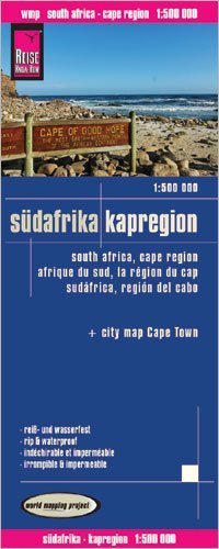
Cape Town Region 1:500,000 Travel Map & Cape Town Plan, waterproof, GPS-compatible REISE, 2012 edition This map is waterproof and tear-resistant, highly suitable for South Africa"s tropical climate. It is durable enough to survive time spent in the rucksack, pocket or on a restaurant table. The map is double-sided to provide the best balance between an excellent scale and a convenient sheet size (size 100 x 70 cm / 39.5 x 27.5 in) with topographic and tourist information.The map covers the southern tip of South Africa south of 32° parallel. The coastal line includes Cape Town, Cape Agulhas, Port Elizabeth and Grahamstown (east of Port Elizabeth). The map has altitude colouring with spot heights and plenty of names of geographical features: mountain ranges, plateaux, peaks and passes, rivers and lakes / dams, etc. National parks and other protected areas are highlighted. Road network includes selected minor roads and tracks, with intermediate distances given on main routes. Railway lines, local airfields are also shown. Symbols mark locations of various places of interest including national parks and other natural sites, UNESCO World Heritage areas, etc. The map has a grid with latitude and longitude at intervals of 30", plus an index of localities. Multilingual map legend includes English. High quality German cartography. Included is an inset street plan of central Cape Town and an enlarged map of Cape Peninsula at 1:200,000.