Stockholm East Coast: SE.T.STOCK2
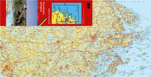
A regional topographic map designed as a tourist and recreation map covering the Stockholm area from Uppsala in the NW, Kapellskär in the NE, Nynäshamn in the south, and the offshore islands in the east. Detailed road map, with route numbers and distances marked. Roads are classified into six types, ferry routes are shown, administrative boundaries and much more. Shows the main cycling routes/trails and hiking trails. Includes symbols representing recreation sites and facilities, viewpoints, golf courses, national parks, campgrounds and more. This excellent map is unfortunately only in Swedish.