Alaska Inside Passage 1:900,000 (Seattle to Anchorage) Visitor\"s Map ITMB, 2012 edition
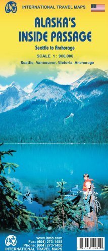
Alaska"s Inside Passage 1:900,000 (Seattle to Anchorage) Visitor"s Map ITMB, 2012 editionThis detailed, double sided map covers the Pacific coast of Washington State, British Columbia and Alaska between Seattle and Anchorage. It maps the routes followed by cruise ships and Alaska Ferries heading north from Seattle and Vancouver to Alaska. Included are inset street plans of Seattle, Victoria, Vancouver (BC) and Anchorage.Coverage divides the coastline north / south. One side of the map presents Vancouver Island and the coastline as far north as Prince Rupert (with inset maps of Seattle, Victoria, and Vancouver); the reverse shows the coastline north to Glacier Bay and an onward inset map to Anchorage (including an inset map of the city).Cartography has altitude colouring with peak heights indicated. Glaciated ares are marked and national parks and other protected areas are highlighted. The principal roads, minor roads, railways and oil pipelines are marked. Symbols denote points of interest, waterfalls, campgrounds, hospitals, ports, airports, seaplane bases, ski resorts, recreation sites, lighthouses, boat launching and fishing sites and visitor centres. The map is annotated with both practical advice and historical / geographical information for travellers. Indexed for place names.As the actual routes followed by the numerous cruise lines vary, their actual sailing routes could not be shown, but they generally follow the coastline within viewing distance of either the mainland or coastal islands, or both. Marked are the regular ferry routes followed by both BC Ferries and Alaska Ferries in their network of watery trails joining coastal communities, and the large cruise ships follow much the same routes.