French Broad and Nolichucky Rivers [Cherokee and Pisgah National Forests] (National Geographic: Trails Illustrated Map #782) (National Geographic Maps: Trails Illustrated)
Price 10.76 - 11.95 USD

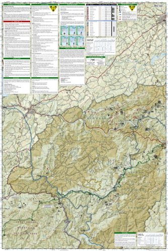
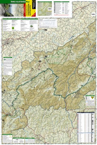
• Waterproof • Tear-Resistant • Topographic Map Coverage includes Cherokee National Forest/Northern Districts; Greenville and Newport; and Sampson Mountain Wilderness Area. Boating Access Points: Nolichucky and French Broad Rivers. Scenic Drives: Foothills Parkway. Includes coverage of the Appalachian Trail. Includes UTM grids for use with your GPS unit and a trail mileage matrix.Folded Size = 4.25 x 9.25Sheet Size = 25.5 x 37.75Scale = 1:63,360