Andorra (Pyrenees) 1:40,000 Hiking Map ALPINA, 2012 edition
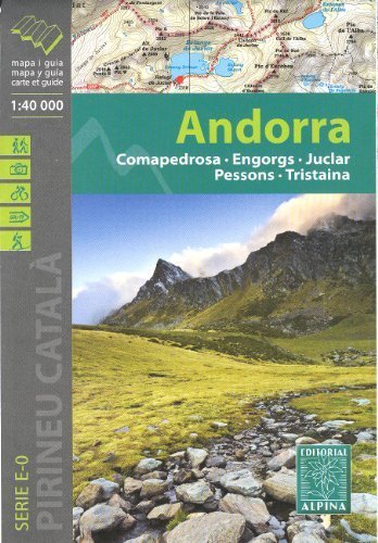
Andorra on a very detailed contoured topographic map. Contours are at 20m intervals, with additional hill shading and spot heights. UTM grid and 1" margin ticks. An overprint highlights hiking trails, long-distance footpaths, campsites, mountain huts, refuges, shows various types of accommodation (hotels, youth hostels, campsites, etc.), information centres, places of interest, climbing sites, skiing areas, locations of petrol stations on local roads, etc. Map legend includes English. The map has a separate booklet with general information on the area, descriptions of selected hiking routes, a list of accommodation with addresses, etc. This is in French, Spanish and Catalan only.