Istria Peninsula (Slovenia, Croatia) 1:75,000 Contoured Hiking Map, waterproof KOMPASS
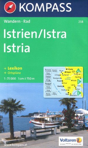


Istria Peninsula (Slovenia, Croatia) 1:75,000 Hiking Map, laminated KOMPASS This is a double-sided, detailed contoured map of Istria with hiking and cycling routes. Coverage extends north beyond the border to include Trieste. Contours at 50m intervals and spot heights present the terrain. An overprint highlights hiking trails, including the E6 trans-European long-distance route, indicating steep, partially waymarked sections. Cycle and mountain bike routes are also marked. Road network includes farm roads and forest tracks. Railways are shown with stations and ferry routes are marked. Symbols indicate various tourist facilities and places of interest, including campsites and youth hostels, nudist beaches, diving and surfing sites, sport and recreational facilities, cultural monuments, etc. The map has no geographical coordinates. The map also provides street plan of central areas of Pula, Rovinj, Opatija, Vrsar, Umag, Novigrad, Porec, Piran and Portoroz, plus Trieste. The multilingual map legend includes English. A separate 78-page booklet, in German only, provides a brief guide to the island, contact details, etc. Sheet size 110 x 75 cm / 43.5 x 29.5 in. High quality Austrian cartography.