Ahaggar (Hoggar, Algeria) 1:200,000 Travel Map, GPS compatible REISE
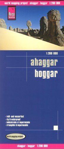
Ahaggar (Hoggar, Algeria) 1:200,000 Travel Map, GPS compatible REISEThe map of the Ahaggar Mountains presents part of the Algerian Sahara also known as The Hoggar and covers an area, with Tamanrasset roughly in its centre, stretching between approximately:West - East: from 5 ° to 6°20" east in its northern half and 6°55" east on its southern partNorth - South: from 24° to 21°10" northTopography is shown by very effective relief shading with contour lines at 250 metres, numerous spot heights throughout the whole region and names of peaks, mountain ranges, etc. Seasonal rivers and wadis are marked, many of them shown with names. Also marked are palm groves and permanent or seasonal wells. The map shows the main road leading to and south of Tamanrasset, plus other local roads, tracks and sand tracks, as well as settlements, airfields and places of interest. The map has both a UTM grid and latitude / longitude lines at intervals of 10". Map legend includes English.The map is waterproof and tear-resistant, printed on both sides to provide the best balance between a good scale and a convenient sheet size (size 100 x 70 cm / 39.5 x 27.5 in). High quality German cartography.