Mauritius (GeoCenter World Map)
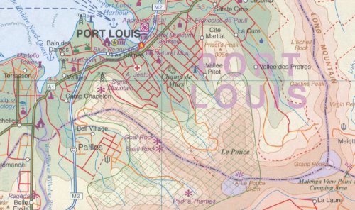
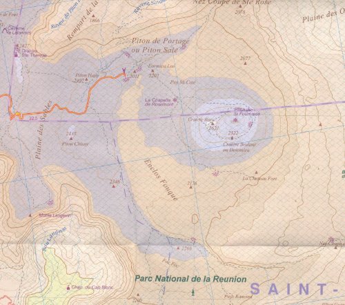
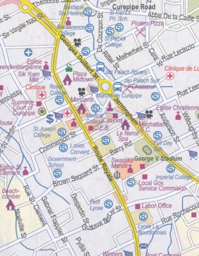
Mauritius, Rodrigues & Reunion (Indian Ocean) Visitor"s Map ITMB, 2013 editionThis double-sided map portrays Rodrigues at scale 1:140,000 and Mauritius at 1:90,000 (which is ideal for cycling and suitable even for hiking) on one side of the sheet, with separate place name index for each island. The map displays good road detail showing roads of different types, including tracks and trails. Major routes have intermediate driving distances in km. The land shape is presented by altitude colouring and spot heights. It also shows all the villages, touristic sites, and attractions, and have respected the heritage of the island by inter-mingling French and English names, just as exists on the islands. Also marked are internal administrative boundaries with names of the provinces. Added are inset street plans of central Port Louis 1:9 000 and Curepipe 1:25 000, as well as short annotation about the islands"s history.The reverse of the map includes Reunion at 1:80,000. The island is presented with altitude colouring and spot heights, plus names of various topographic features. National parks and other protected areas are highlighted. Road network indicates dirt tracks, gives distances on main routes. The map has latitude and longitude lines at 3" and is indexed.The islands, south and east of Cape Town, are a major sugar-producing country, with enormous tourist potential. Dozens of beach resorts already dot the coastline, including all the "brand" names, which bodes well for the future.