Wilmington, NC Street Atlas
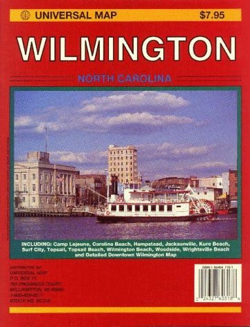
The Wilmington Atlas features Camp Lejeune, Carolina Beach, Hampstead, Jacksonville, Kure Beach, Surf City, Topsail, Topsail Beach, Wilmington Beach, Woodside, Wrightsville Beach, and a detailed Downtown Wilmington Map. There is a central legend for all twenty maps including highway information, boundaries, and points of interest. The atlas includes all zip code boundaries and zip codes. There is a Wilmington Area Map Locator and Jacksonville Area Map Locator. There is historical and descriptive information about Wilmington which is,"Situated between the flowing waters of the Cape Fear River and the crystal blue of the Atlantic." Also detailed is recreational information for Wilmington. The street and points of interest indexing is at the end of the atlas.