Aruba Laminated Map by Borch
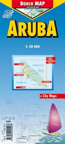
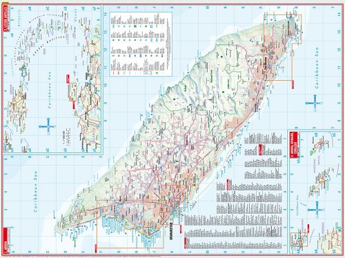
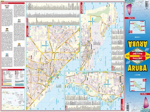
Folded road and travel map in color. Scale 1:50,000. Distinguishes roads ranging from dual carriageways to country lanes. Legend includes international airports, sights, museums, monuments, ancient sites, lighthouses, windmills, beaches, caves, yachting/windsurfing/snorkelling and scuba diving sites, shipwrecks, golf/tennis courses, bus stations, gas stations, National Parks, nature reserves, viewpoints, hotels, markets, prohibited areas. Includes inset of Lesser Antilles (1:7,000,000), Aruba, Bonaire, Curacao (1:1,000,000), Oranjestad (1:10,000), Beaches (1:25,000), San Nicolas (1:20,000). Climate charts show the average daily temperatures, humidity, hours of sunshine and precipitation for each month.