Bordeaux - Arcachon (France) 1:100,000 Touring Map #145 IGN
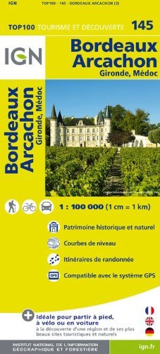
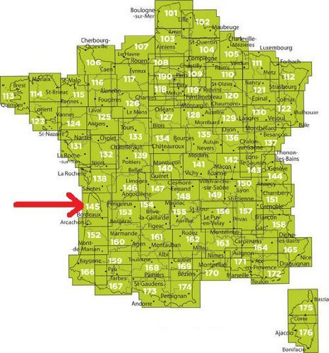
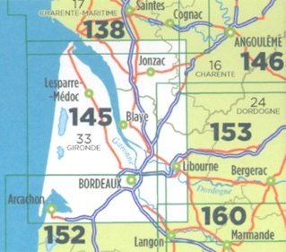
Bordeaux - Arcachon (France) 1:100,000 Touring Map #145 IGNThis IGN map # 145, Bordeaux - Arcachon, is an exceptionally detailed, contoured road map, ideal for exploring the French countryside by car, by bike, or even on foot. The map provides an excellent balance between coverage of a sufficiently wide area and detailed road presentation, plus topographic information not found on other road maps. Used by millions of locals and tourists alike.Presentation of the terrain is sharp to make small local roads stand out well. Contour interval varies according to the terrain, from 10m along the coast to 40m in the mountainous areas, enhanced by relief shading. Additional colouring shows different types of vegetation or land use (woods, vineyards, orchards, etc). The map has a 5-km UTM grid for GPS users, plus a latitude and longitude grid at 15" intervals.The map includes plenty of tourist information. For walkers, it has an overprint highlighting long-distance footpaths, the GR routes, making it an ideal supplement to topo-guides. A wide range of symbols mark various places of interest, sport and recreational facilities, mountain refuges, gîtes d"etape, etc. The map carries all the usual information found on topographic maps at this scale: peaks, glaciers, passes, names of mountain ranges and other geographical features, railways with stations, funiculars, ski and chair lifts, administrative boundaries, etc.