Dominican Republic and Haiti Map by Nelles (Nelles Maps) (English, Spanish, French and German Edition) (English, Spanish, French, Italian and German Edition)
Price 10.95 USD
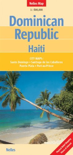
Folded road and travel map in color. Scale 1:600,000. Distinguishes roads ranging from expressways to minor roads. Legend includes railways, international airport, airfields/landing strips, national parks, places of interest, archaeological sites, beaches, shipwrecks, mountain peaks, churches, bus terminals, markets, hotels, restaurants. Includes inset map of Port-au-Prince, Puerto PLata, Santiago, Santo Domingo, Punta Cana Region.