Crete
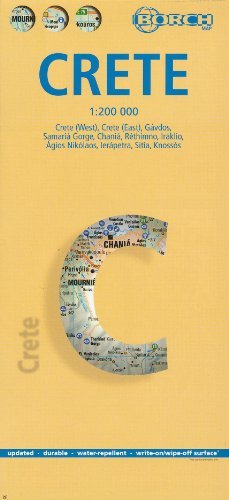
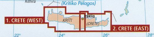
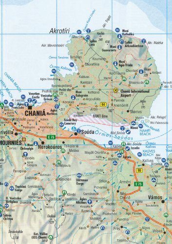
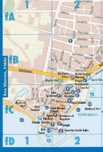
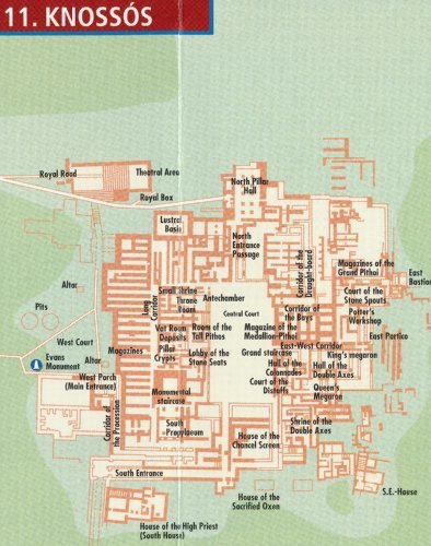
Crete 1:200,000 Travel Map with city plans, waterproof, 2012 edition BORCHDouble-sided map of Crete at 1:200,000 on a sturdy laminated paper. It is easy to fold, durable and water-repellent with a wipeable surface. The map divides the island east / west with a good overlap between the sides.Bold relief shading with spot heights and names of mountain chains shows the topography. Road network includes minor roads and selected local tracks and give driving distances on main routes. Symbols highlight places of interest, including numerous beaches, archaeological sites, etc.The map includes indexed street plans of the island"s main towns, also annotated with sights and various facilities: Iraklio 1:7,000, Agios Nikolaos 1:6,000, Chania 1:10,000, Ierapetra 1:10,000, Rethimno 1:9,000 and Sitia 1:7,000.An enlargement shows the Gorge of Samaria and the nearby coast in greater detail at 1:90,000. Also included are a plan of the archaeological site at Knossos and an inset map of the island of Gavdos 1:200 000. Added is a month-by-month climate chart. The map is indexed, multilingual legend includes English. High quality German cartography.