England and Wales Executive (National Geographic: Reference Map)
Price 9.89 USD
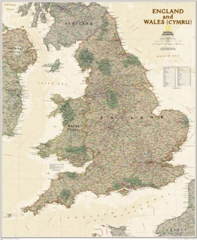
This executive-style map of England and Wales shows political boundaries, major highways and roads, cities and towns, airports, and other geographic details. Thousands of place-names and exact borders are carefully researched by National Geographic"s map researchers and editors ensuring the utmost accuracy. Map is printed on premium quality paper stock, rolled, and wrapped in kraft paper without display packaging.Sheet Size = 30 x 36Scale = 1:868,420