City of London Map 1520: 500 years ago, Henry the 8th"s City... Showing Major Streets, Lanes, Churches, Great Houses, Public Buildings, Folded in Wallet,
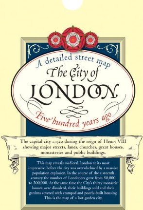
The capital city in 1520 during the reign of Henry VIII showing major streets, lanes, churches, great houses, monasteries and public buildings. This map reveals medieval London at its most impressive, before the city was overwhelmed by a massive population explosion. In the course of the sixteenth century the number of Londoners grew from 50,000 to 200,000. At the same time the City"s thirty monastic houses were dissolved, their buildings sold and their gardens covered with cramped and poorly-built housing. This is the map of the lost garden city.