2011 Collins Britain & Ireland Handy Road Atlas (International Road Atlases)
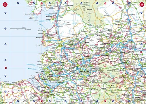
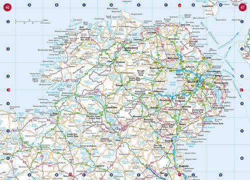
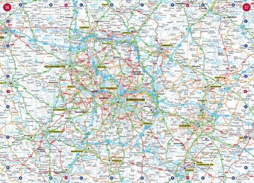
Fully updated, this atlas features maps of Britain at 9.9 miles to 1 inch. There is also a selection of more detailed urban area maps at 4.5 miles to 1 inch to aid route planning in these busy areas. The atlas includes road maps that focus on the main roads, motorways, and settlements and a useful distance calculator chart highlighting distances between the major towns.