Frankfurt : Europe City Map
Price 9.95 USD
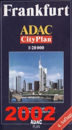
Frankfurt am Main (Hesse, Germany) CityPlan 1:20,000 Pocket Street Map ADAC This practical pocket-size 18 x 10 cm (7 x 4 in) plan turns into a surprisingly large sheet when unfolded to its 100 x 70 cm (40 x 27 in). It includes almost all of Frankfurt at scale 1:20,000, extending to and showing Frankfurt"s international airport. Added are a detailed inset of the historic centre at 1:10,000; an inset of the metropolitan area at 1:100,000 showing the location of the international airport and highlighting the motorways and artery roads around the city; plus a plan of the public transport.The plan shows and names all streets. One way streets and car parks are marked. All the main landmarks and public buildings are indicated. All public transport facilities are shown: Metro, buses, trams and overland rail lines, with stations and stops. A comprehensive street name index is on the reverse side. Map legend includes English. High quality cartography by the German Automobile Association.