Delaware Water Gap National Recreation Area (National Geographic: Trails Illustrated Map #737) (Ti-Other Rec. Areas)
Price 10.13 - 11.70 USD
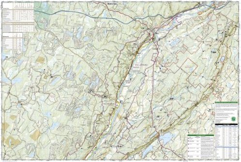
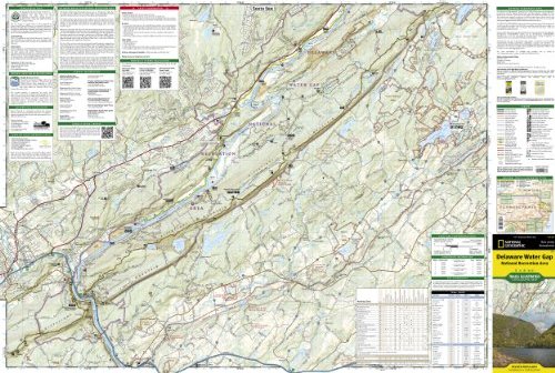
• Waterproof • Tear-Resistant • Topographic Map Explore and discover new wonders with National Geographic"s Delaware Water Gap National Recreation Area Trails Illustrated map, a two-sided, waterproof, topographic trail map designed to meet the needs of outdoor enthusiasts with unmatched durability and detail. This map was created in cooperation with local land management agencies and is loaded with valuable recreation information for paddlers, anglers, hikers, and all adventurers looking to explore the 70,000-acre park. Hiking, biking, and horse trails, along with major and secondary roads, are clearly distinguished. Places of interest, including the Appalachian, Liberty Gap, and Joseph M. McDade trails, are labeled and easy to find. Boundaries for park lands, wilderness, and protected areas are color coded and easy to discern. The area"s unique terrain, with low-forested mountains and 1,000-foot deep water gap, is the map"s core feature, with detailed elevation contours, shaded relief, vegetation, and water features. The southern end of the park is featured on one side of the map, where the river cuts an s-shaped pass through the mountains and the Appalachian Trail runs alongside Kittatinny Mountain and crosses the Delaware River at Interstate 80. The reverse side details the north side of the water gap, from High Point State Park to the Delaware State Forest, and includes insets of waterfalls and an activity chart. The Delaware Water Gap map is designed and printed in the United States on durable synthetic paper, making it waterproof, tear-resistant, and trail tough -- capable of going anywhere you do. The map is two-sided, and is folded to a packable size of 4.25" x 9.25"; unfolded size is 26" x 38". Key Features: • Waterproof and tear-resistant • Updated regularly • Designed and printed in the U.S.A. • Detailed road network, including designations for off-highway roads • Clearly marked trails for hiking, biking, motor sports, horseback riding, and more • Detailed topography with shaded relief and clearly defined, color-coded boundaries for parks, recreation areas, wilderness areas, forests and wildlife refuges • Hundreds of places-of-interest, including campgrounds, information centers, trailheads, viewpoints, boat launches, waterfalls, historical sites, and specialty content unique to each area • UTM and Latitude/Longitude coordinate grid, as well as selected waypoints, and a scale bar for easy and accurate navigation. All National Geographic trail maps contain helpful information on local regulations, safety, important contact information, and park interpretive content. Net proceeds from the sale of this map go to support the nonprofit mission of the National Geographic Society.Folded Size = 4.25 x 9.25Sheet Size = 37.75 x 25.5Scale = 1:40,000