B&B New Orleans City Streets Map
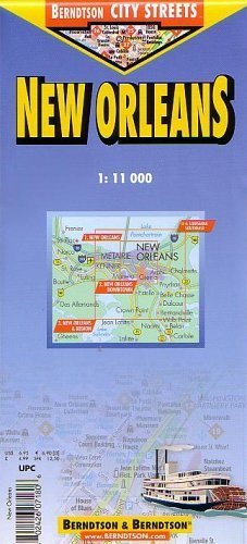
B&B City Streets brand laminated folded map in color of New Orleans. Indexes show locations of public buildings, neighborhoods (quarters), housing projects, streets, points of interest, hotels, shopping centers, markets, parks. Shows marinas, canals, basins, wharves, post offices, libraries, museums, theaters, radio towers, lighthouses, monuments, churches, monasteries, synagogues, ruins, bus stations, golf courses, airports and airfields, police stations, parking lots and garages, streetcar routes, youth hostels, zoos and other places of interest, hospitals, hotels, places for yachts and yachting. On one side, New Orleans Downtown at a scale of 1:11,000. Also New Orleans and Region inset at 1:300,000, showing routes into and out of the city. Reverse side shows greater New Orleans at 1:30,000 with many neighborhoods and streets labeled directly on the map. Also has an inset of southeastern Louisiana showing routes to New Orleans from Lake Charles, Jackson, Columbia, Hattiesburg, Venice, Gulfport/Mobile. Climate chart with monthy averages of temperature, humidity, precipitation and sunshine duration. 2004 updated edition.