Universal Map Advanced Political Map - World 27892
Price 181.25 - 254.99 USD
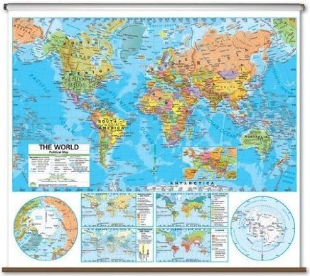
Universal Map The Advanced Political Map series provides a wealth of valuable information including country and state boundaries as well as capitals, major waterways, and major cities. Created with legibility in mind these brightly colored maps highlight the world, its continents and the United States with detailed cartography. This high quality series is appropriate for grades six through twelve, and includes content that meets national and state curriculum standards. Four thematic inset maps enhance the value of the main map. Thematic inset content includes: climate, natural vegetation and environment, population density per square mile and ethnic diversity and landforms and regions. All classroom wall maps are made from heavy duty paper and are laminated with a washable surface, and mounted on pull-down spring rollers for convenient classroom storage. These maps are a great way to further students" comprehensive view of the world. The World map is perfect for school or home, and comes on your choice of rails, roller or roller with backboard. Features: -Choice of rails, roller or roller with backboard -Laminated -Markable with a dry erase or water soluble marker -Detailed labeling of bodies of water and land mass -Detailed legend and color coding -Made especially for sixth to twelfth grade -Content meets national and state curriculum standards -Thematic inset maps -Perfect for any wall -54" x 64" 27892