Lombardia/Milan/Upper Italian Lakes (Road & Leisure Time Map)
Price 6.92 - 12.50 USD
labirint.ru12.50 USD
EAN/UPC/ISBN Code
9783707903096
Producer
Freytag & Berndt
Pages
2
Year of production
2013
Binding
130x255
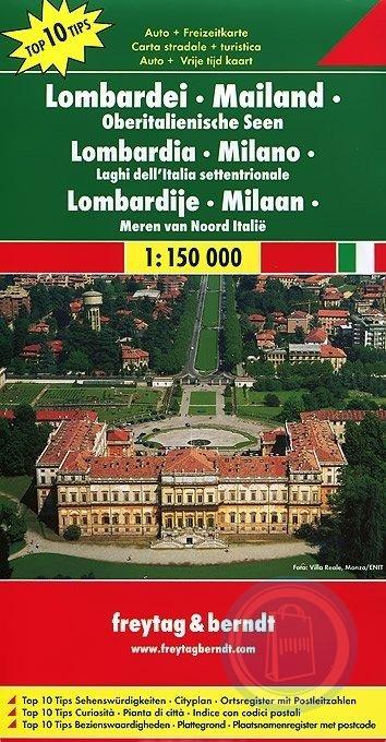
Road and tourist map of the Lombardy region of Italy, including Milano, Lago di Como, Lago d"Iseo and Lago di Garda that depicts elevation with shaded-relief and color tinting. Map shows roads, tourist routes, rail and ferry lines, distances in kilometers, natural features, parks, and places of interest. 31-page booklet includes information in four languages on the top 10 tourist sites, a city plan of Milan, and placename index. Legend in English, French, German, and Italian.