Italy, Northern Map (English, French, Italian and German Edition)
Price 7.53 - 13.38 USD
labirint.ru13.38 USD
EAN/UPC/ISBN Code
9783850842600
Producer
Freytag & Berndt
Pages
2
Year of production
2013
Binding
130x250
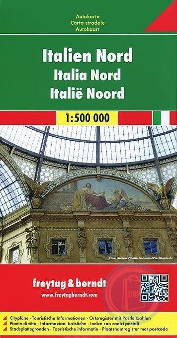
A detailed road map of Northern Italy at a scale of 1:500,000 (1" to 8 miles). Shading is used to accent the land in relief. Selected elevations and distances are shown. The maps southern border is a little south of Siena. There is an inset of central Italy showing major highways between Ravenna to Foggia at a scale of 1:3,500,000 (1" to 55 miles). The countries of Monaco and San Marino are outlined. There is an attached index book with center city plans of Ancona, Bolzano/Bozen, Firenze (Florence), Genova (Genoa), Roma (Rome), Torino (Turin), and Venezia (Venice). The legend is in English, Italian, French, and German.