Хорватия-Словения. Атлас автодорог / Kroatien-Slowenien: Superatlas
Цена 20.73 - 26.67 USD
labirint.ru20.73 USD

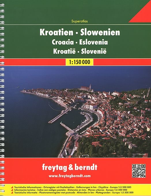
Spiral-bound Superatlas of Croatia and Slovenia at 1:150,000 scale (1.5 km per cm) that depicts elevation with shaded-relief and color tinting. The 97 map pages for Croatia and 72 pages for Slovenia show highways and roads, scenic routes, rail and ferry lines, ports, distances in kilometers, hotels/inns/campgrounds, natural features, parks, and places of interest. Thorough placename index for both countries. Also included are city center plans for Dubrovnik, Karlovac, Osijek, Pula, Rijeka, Sibenik, Slavonski Brod, Split, Trogir, Umag, Zagreb, Varazdin, Zadar, Celje, Kranj, Koper, Murska Sobota, Ljubljana, Maribor. Includes section on Europe at 1:3.5 million scale (35 km per cm). Map legend in Slovak, Slovenian, Italian, Spanish, Dutch, German, English, French and other languages.Крепление: двойная евроспираль.