Cambodia and Angkor Nelles Map (English, French, Italian and German Edition)
Price 11.33 - 12.02 USD
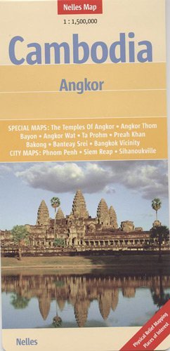
Up-to-date, detailed, highly readable map in shaded relief. Easy to fold. All of Cambodia with parts of Thailand and Vietnam. Distinguishes many types of roads (calls out those in poor condition): expressways, principal highways, highways, provincial roads, secondary roads, minor roads/cart tracks. Road numbers shown. Distances indicated in kilometers. Places of interest include resorts, waterfalls, sand dunes, hot springs. Includes beaches, national parks, mountain peaks (altitudes in meters), caves. Airports, airfields, railways. City maps show shopping centers/markets, hotels, Buddhist temples, Hindu temples, churches, mosques. Reverse has plans of the major temples of the Angkor sites: Bayon, Angkor Wat, Angkor Thom, Ta Prohm, Preah Khan, Banteay Srei; with historical information. City maps: Bangkok, Siem Reap, Phnom Penh. Scale 1:1,500,000.